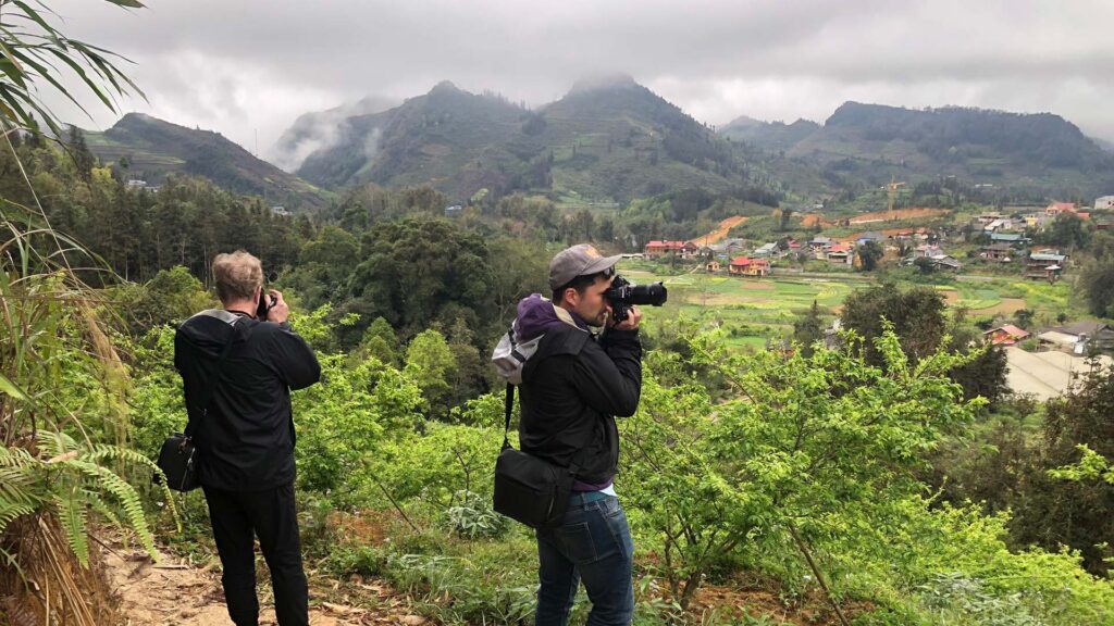
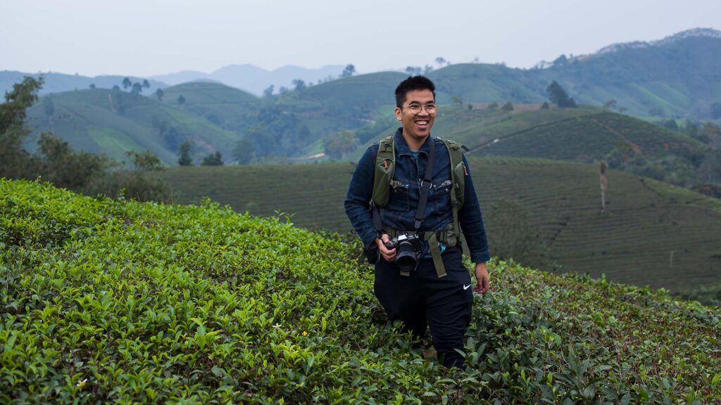
Deep into the most northern part of Vietnam, peaks of majestic mountains reaching towards the sky, cutting through the passing clouds in a never ending spectacle in this serene landscape. The sea of clouds crashing against the mountain cliffs captures all one’s senses as an overpowering calmness takes over the whole place. The chill and harshness of the conditions would make one think this is a divine place where nature rules the scape and forces it’s inhabitants to the lower grounds, but that’s nowhere near reality.
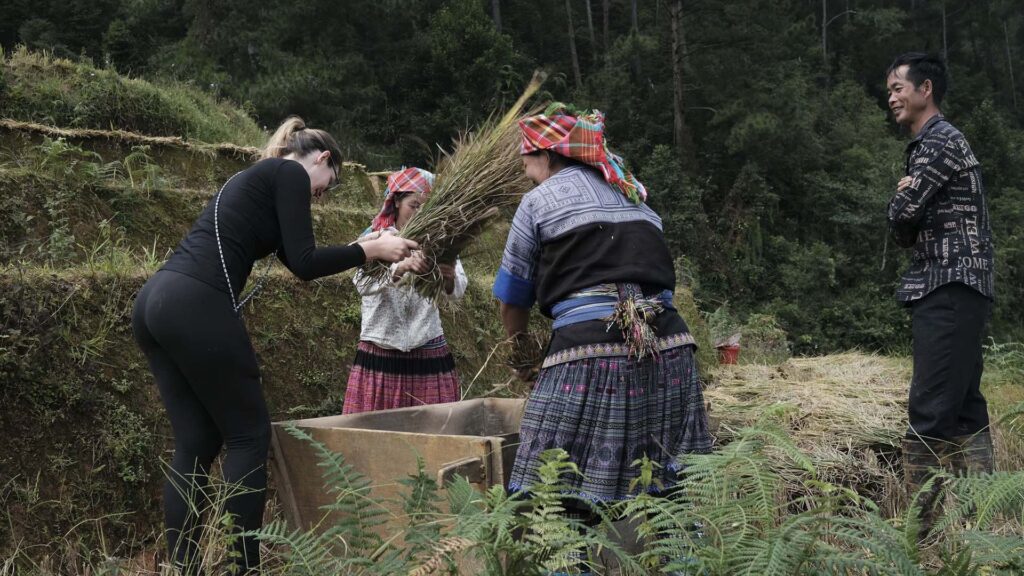
22 different ethnic groups inhabit Hà Giang’s mountain range and its surreal cliffs. It’s unbelievable to the eyes how those incredibly steep cliffs are all transformed into rice terraces solely by muscle power. The vastness of the mountains and rice terraces will leave you in awe and fascination by the skills and abilities of these ancient ethnic tribes. These mountains are mostly dominated by “H’Mông” tribes in their various sub groups, as well as “Tày”, “Dao”, “Nùng”, and “Lô Lô”. Farmers rely on rice as their main crop as well as corn and hemp to make a living. The living conditions for most farmers are quite harsh. Poverty and overwork make their mark on farmers’ backs. However, the mountain peoples’ physical strength and adaptation to their way of life generation after generation covers everything with a feeling of ease and normality.
The rice harvest is the most important season for Hà Giang’s locals. It provides the farmers with their stock after 6 months of hard work in the toughest conditions. A subtle sense of cheerfulness fills the fields as the farmers yield their crops. It’s a feeling of wealth and prosperity as the rice seeds fill their urns. The rice harvest in October, as the autumn starts, coincides with the flowering of “tam giác mạch” buckwheat flowers and a few other plants due to the relatively warm and clear weather. The buckwheat flower seeds are eaten as stock replacing rice and corns sometimes, however, it’s not the main reason why farmers plant these colorful flowers. The farmers plant and maintain those colorful flower fields to generate extra income from tourists. Tourists and newly wed couples flock the region to enjoy the scenic beauty and have their pictures taken in the pink, purple and red fields. All this produce allow the local markets in Hà Giang all over Quản Bạ, Đồng Văn, Mèo Vạc, Lũng Cú, Mã Pì Lèng,.. to flourish with colorful goods. It varies from fresh fruits, to locally processed products as liquor, to other food delicacies of Hà Giang that attract visitors. The markets are truly raw and original, they can give you real insight on the way of life of local ethnic groups; their food, character, colorful traditional clothing, etc..
The landscape and it’s inhabitants are under heavy pressure caused by major Chinese Hydro-Power projects and heavy exploitation of mineral resources. These massive projects not only physically affect the landscape, but also threaten lots of local villages and their way of life. The industrialization of such a unique area of roughly 550 million years of geological history and numerous indigenous flora and fauna species, would bear a heavy price. Some areas like Đồng Văn joined the “UNESCO Global Geopark” list in 2010. One of only two in all Southeast Asia.
Something about working slow with analogue camera, where I couldn’t get instant results, really had its effect on my way of capturing these photos. The black and white tones on 35mm film convey the nostalgic feel of the area and the way of life of the mountain peoples, yet taking away the colors of people and landscape leaves out an important element. Of all my travels in Vietnam, Hà Giang captured my heart the most making me feel certain that this is an ongoing project, not just a series of photographs I captured on a trip. As more development and modernization affect Hà Giang rapidly, one can only wish the serenity of the natural scape and the unique way of life of its people, would adapt to the changes rather than disappear.


